GEOSAT seminar series presentation
- 1 min 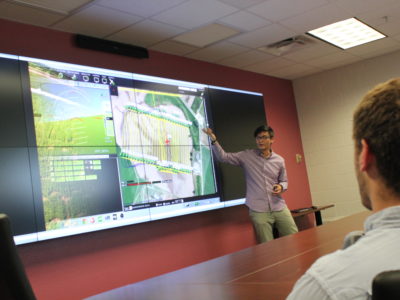
This was a seminar talk I presented at an invited session at Texas A&M GEOSAT. In the one hour talk, I talked about the past, current, and future of conducting earth science related research using the power of UAVs. Here’s the public release on talk if you’re interested in it.
Short Recap
Past-and-Current
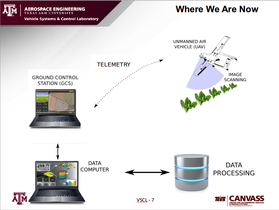
Currently, precision agricultural and geo-spatial research using UAVs are inefficient and often unreliable. Data are collected on the vehicle at the test site and then downloaded to a storage device. The data is then analyzed and mosaiced at a supercomputer. Returning results time can vary from days to weeks.
Issues include:- Sensors not properly integrated with flight plan, vehicle, and environmental conditions (wind, lighting...etc)
- Data analysis conducted post flight
- Large data number without proper data reduction results in mosaic tragedy
The scientific results were promosing, and the results from my group’s previous work that were published are listed:
- Unmanned Aerial Vehicles for High-Throughput Phenotyping and Agronomic Research-2016
- Multispectral and DSLR sensors for assessing crop stress in corn and cotton using fixed-wing unmanned air systems-2016
- Development and testing of a customized low-cost unmanned aircraft system based on multispectral and thermal sensing for precision agriculture applications-2017
Challenges
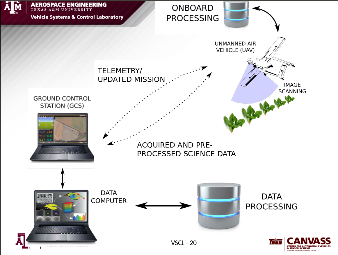
From my past experience, with our current system Precision Agriculture using UAS as an aiding tool is indeed feasible, however in order to enhance the capabilities, the following challenges needs to be addressed:
- Reduced data analysis time on image quality.
- Real time environmental feedback to incorporate wind and lighting issues during flight.
- Closing the loop on image analysis for possible mission adjustments in-flight.
Future

Han-Hsun (Jack) Lu
A Man who loves learning and traveling